The Southern African Science Service Centre for Change and Adaptive Land Management (SASSCAL) and the Council for Scientific and Industrial Research (CSIR) co-hosted this year’s GMES and Africa Southern African Regional Workshop that was held from 5 – 7 June 2023 in Luanda, Angola.
Based on the event summary released by the event organisers, the Global Monitoring for Environment and Security and Africa (GMES & Africa) regional workshop assembled decision and policymakers as well as stakeholders in wetlands, environment, water resources management and marine resources to demonstrate new technologies in Earth Observation (EO) under the theme, “Earth Observation bridging the gap between science and policy”.

According to the United Nations Environment Programme publication for climate change in Southern Africa of 2013, it is reported that Africa, especially Southern Africa, is continuously faced with climate change and variability, natural disasters, and environmental degradation, which hurts agricultural production and economic productivity. Furthermore, the African Union Agenda 2063 —”Africa We Want”, and the Africa Space Policy and Strategy highlight the importance of Satellite Earth Observation for natural resources management and social-economic development in Africa.
It is against this background that the GMES & Africa programme, funded by the African Union Commission and European Union, prioritises the development of African Space capabilities and coordinating space activities such as earth observation missions and infrastructure. This is in response to global needs to sustainably manage the environment, understand and mitigate the effects of climate change, and ensure civil security by providing information to policymakers, scientists, businesses and the public on a real-time basis.
The GMES & Africa, which is an instrument of the African Agenda of 2063 and African Space Policy and Strategy, adopted a continent that is not only a consumer in the global space arena but a key driver of efforts to harness space technologies and applications, including Earth Observation for sustainable development.
The GMES & Africa programme supports eight consortia, all working to reinforce and further grow infrastructure for more systematic exploitation of geospatial data (from space and in situ sources) of projects such as the Wetland Monitoring and Assessment Service for Transboundary Basins (WeMAST) implemented by SASSCAL and Africa Marine and Coastal Operations for Southern Africa (MarCOSIO) enforced by CSIR from Southern Africa.
The Wetlands Monitoring and Assessment Service for Transboundary Basins (WeMAST) project was established to design and develop an integrated wetland assessment and monitoring platform. WeMast supports better management of selected transboundary river basins in Southern Africa, namely the Cuvelai, Okavango, Limpopo and the Zambezi river basin. The WeMAST Geoportal and Mobile Application provides essential data on exposure within wetlands that monitors land and vegetation cover, the resilience that looks at vegetation above ground biomass, fractional cover and basin degradation, a sensitivity that assesses water quality and soil moisture index and ancillary that monitors rainfall and drought vulnerability (temperature). Monitoring and evaluating wetlands allows for water resource management, biodiversity, and land use planning for decision support.
The Executive Director of SASSCAL, Dr Jane Olwoch, believes that embracing innovation in Earth Observation technologies and fostering collaborations between scientific advancement and policymakers is crucial in shaping sustainable policies to effectively mitigate climate change’s impact, ensuring a resilient future for future generations.
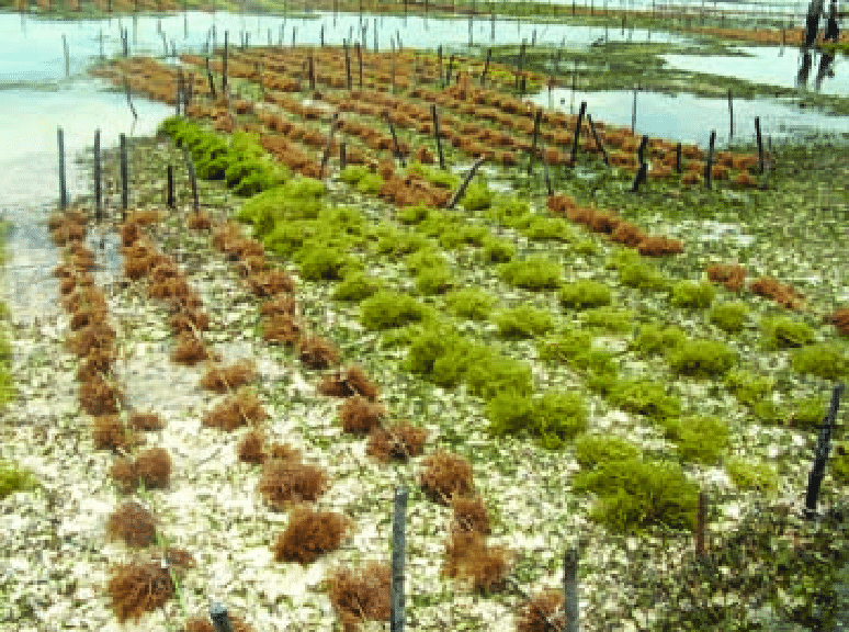
CSIR drives the Marine and Coastal Service Development for Southern Africa (MarCOSIO) project that contributed to the creation of Abalobi, a global social enterprise and its eponymous app focusing on supporting fisheries with tools to optimise fishing operations, improve safety at sea to understand environmental variability better and monitor Illegal, Unreported, and Unregulated (IUU) fishing activities. Using Earth Observation, CSIR monitors and manages coastal and marine environments for coastal zone management, pollution monitoring, climate change and sea level rise, and resource management and aids coastal zone planning and adaptation strategies and overall oceanography and marine ecosystems.
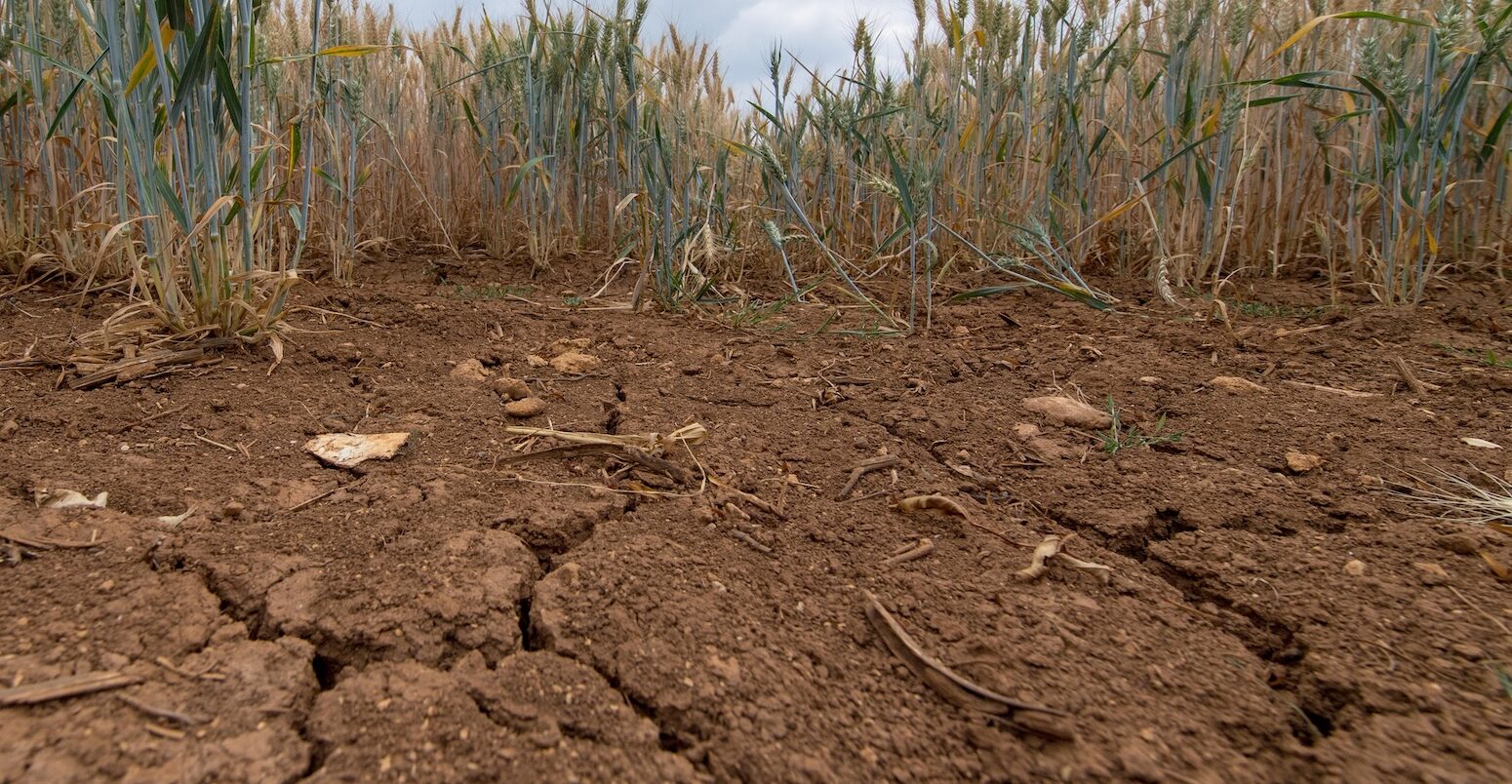
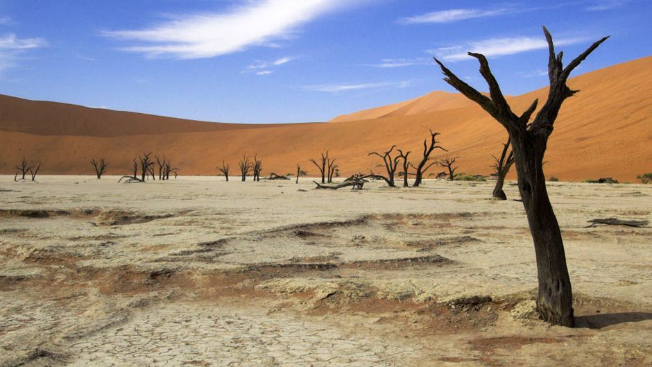
Using Earth Observation data for sustainable development and climate resilience provides policymakers with accurate and timely information on climate change dynamics to monitor environmental changes, predict future scenarios and assess the effectiveness of climate change-related interventions. It allows early warning systems for climate-related hazards such as floods, droughts, degradation, and desertification. This will enable decision-makers to anticipate and respond to such challenges proactively.
Hence, the GMES & Africa Southern African Regional Workshop aimed to demonstrate new technologies such as the WeMAST Geoportal and Mobile Application and the Abalobi Fisher Mobile Application to ensure their effective use by policymakers and stakeholders in climate change mitigation.
Through collaboration, capacity building and policy support, GMES & Africa, SASSCAL, CSIR and all stakeholders alike can enhance the capacities of African institutions, policymakers and communities to utilise EO data for sustainable development and climate resilience and contribute to the “Africa We Want”.
For more information regarding the event proceedings, kindly check here.


