The Development Corridors Partnership Project is a South-South research and capacity building collaboration among the UK, Chinese and African institutions.
Partners from Tanzania, Kenya, China and UK are coming together to build capacity on decision-making based on a sound scientific evidence and effective use of available planning tools and procedures.
The Partnership will build capacity among researchers, practitioners, government and private sector actors to deliver sustainable development corridors in East Africa. This will include increasing availability of the best tools and analyses and the skills to use them.
The DCP project is running a one-week training on GIS, Modeling and Social Science Research Methods from Monday 3rd to 9th June 2019 in the Bioprocess Harvest Engineering Hall, Department of Engineering Sciences and Technology (DEST), College of Agriculture, Main Campus, Sokoine University of Agriculture, Morogoro, Tanzania.
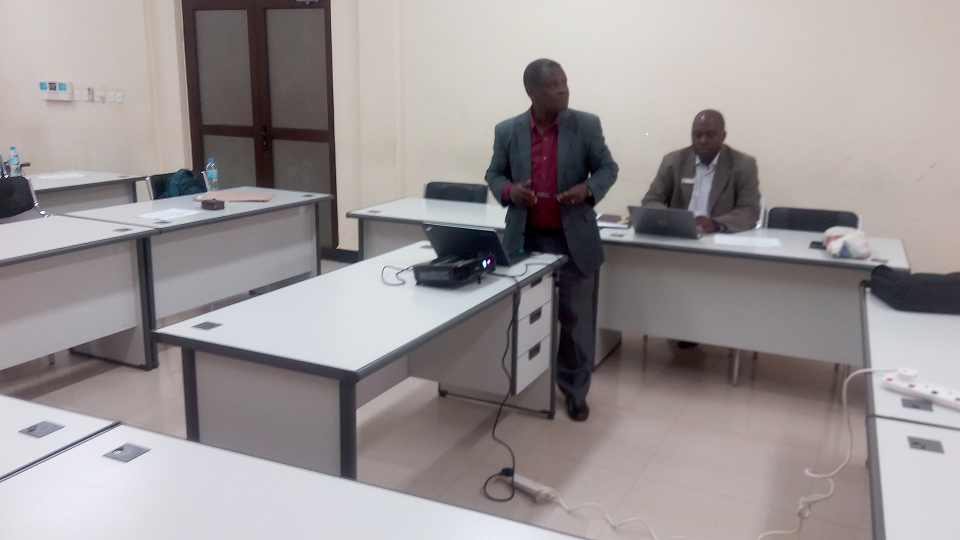
Prof. Pantaleo Munishi introducing the Development Corridor Partnerships Project to the participants
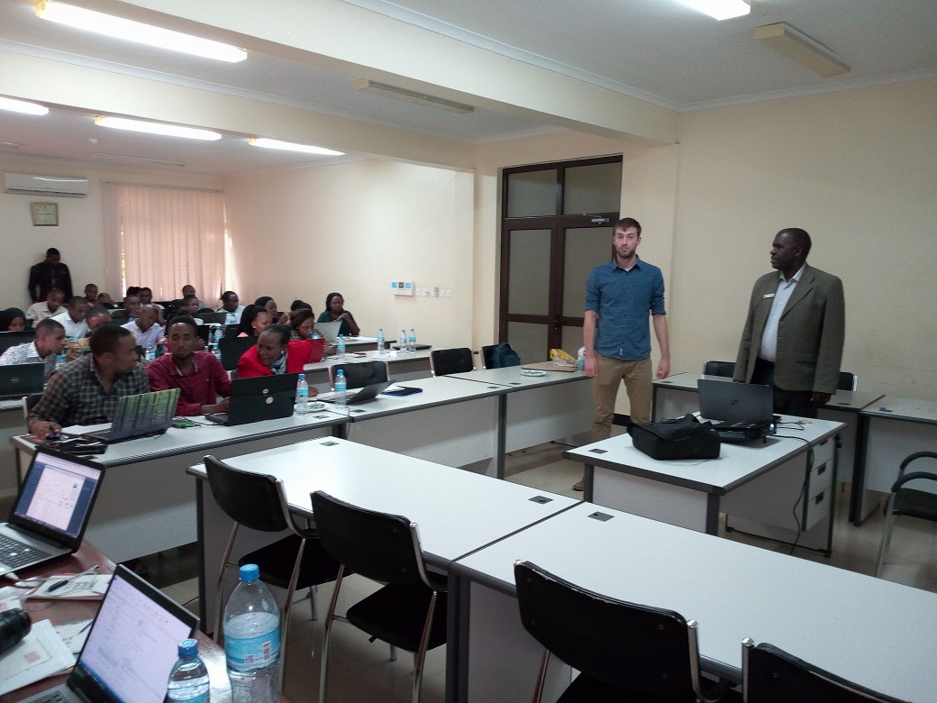
Prof. Japhet J. Kashaigili introducing Trainer (Joe Gosling from UNEP-WCMC with the blue shirt) to participants
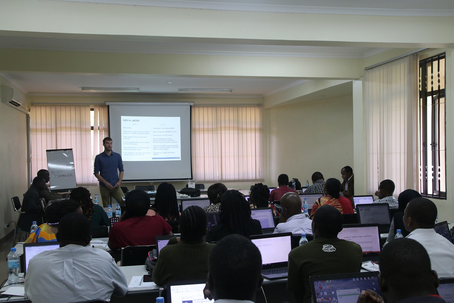
Joe Gosling teaching the application of QGIS
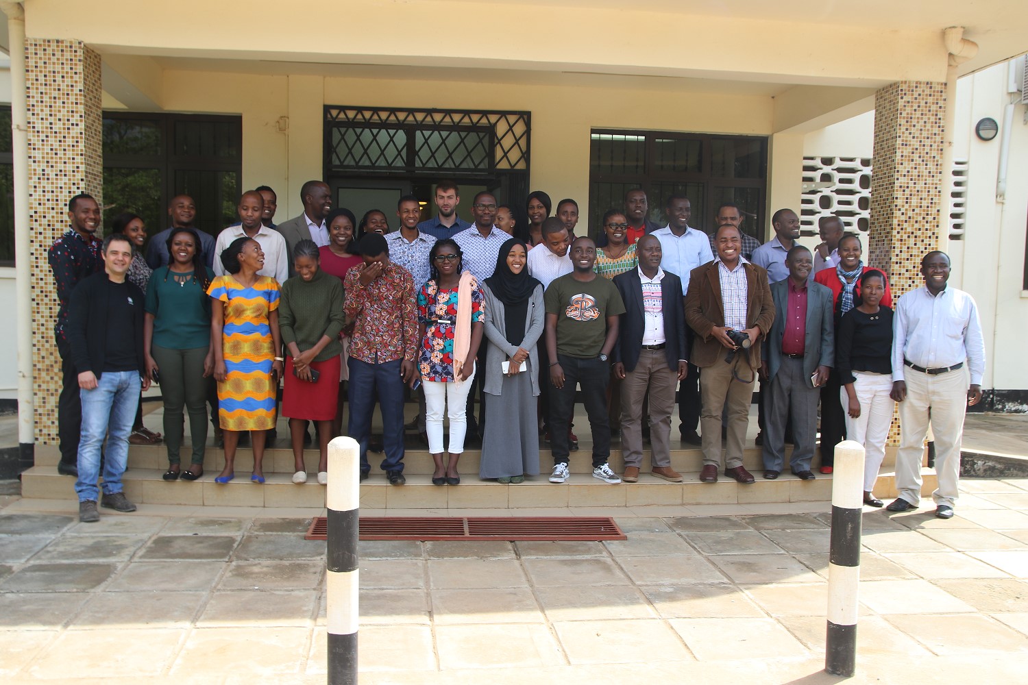
Group photo of the participants and facilitators
The Development Corridors Partnership project will run until December 2021 and is funded by the UK Research Council’s Global Challenges Research Fund
Get in touch
Visit Project Website at: www.developmentcorridors.org
Email: info@developmentcorridors.org
Twitter: @devcorridors
