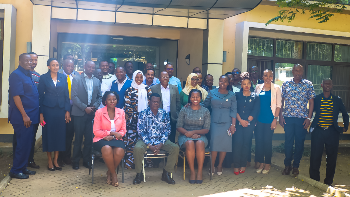
Group photo of the people who attended the seminar presentation in person
Miombo woodlands are important as a source of useful products such as fuelwood, charcoal, timber, and food such as fruits and honey. Moreover, they play a crucial role in mitigating climate change, preventing soil erosion, protecting water sources, ameliorating the environment and hosting traditional spiritual and cultural events. These products and services are supported by the diverse tree species that compose these woodlands.
The current rate of woodland loss (due to inappropriate harvesting and exacerbated by climate change) threatens the extinction of some key tree species that provide these essential goods and services. In response, the country conducts various ecological surveys and forest resources assessments for scientific and management purposes to ensure these tree species are protected and utilized sustainably. However, these surveys are costly and difficult to perform frequently as they rely largely on groundwork.
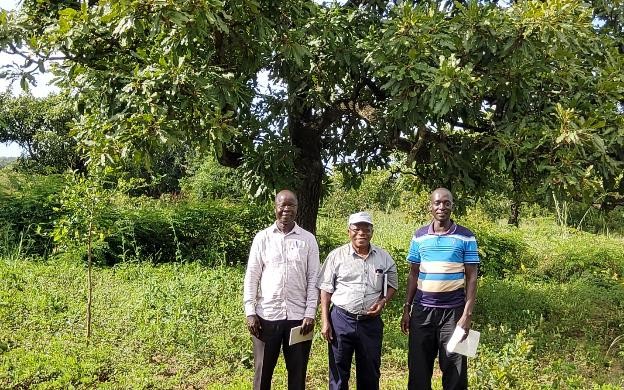
Siwa Ernest, in his research titled “Mapping Dominant Tree Species of Miombo Woodlands in Western Tanzania Using PlanetScope Imagery,” conducted as part of his PhD work, aimed to model the effect of climate variability on the Land Surface Phenology of Miombo Dominant Tree Species in Western Tanzania. He found that it is possible to utilize PlanetScope imagery, which offers very high spatial resolution and daily global revisit, in mapping dominant tree species of miombo woodlands. Moreover, he found that the highest accuracy of mapping tree species was obtained using stacked multi-season PlanetScope imageries. His work produced tools and processes that could guide the use of remote sensing imageries, including drone-acquired imageries, in mapping miombo tree species. If applied this approach promises to provide highly reliable data.
The remote sensing approach he used involves the collection of data using tools that are not in physical contact with the object being measured. Remote sensing tools include sensors onboard satellites, airplanes, Unmanned Aerial Vehicles (UAVs) including drones, flux towers, and more. Using remote sensors to collect data is cost-effective and allows for data collection over a large area at high frequency.
Utilization of data on selected tree species through the above-mentioned means and tools can greatly aid in monitoring of selected tree species for scientific purposes and for effective ecosystem management. An ideal situation would be where it is possible to monitor each species individually and eventually the whole system. Therefore, more research is needed to scale up the Remote Sensing application for miombo tree species mapping.
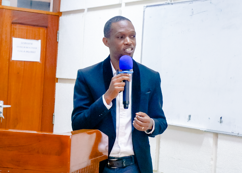
The seminars were a fantastic set up for me to practice public speaking and to get informed feedback on my research.